Good Friday Morning,
It appears as if the TFR that had been issued for TEB/EWR and LDJ on June 23rd from 0915 local until 1100 local has been cancelled. Heat wave over Western Europe should ease early next week with the passage of an upper-level trough over the North Sea. Mt Etna appears to be calm for the time being. Deep low pressure well to the South of Perth, Australia today will move slowly East over the next several days bringing the possibility of heavy to the higher elevations of SE Australia early next week. Heavy rainfall warnings remain in place for the Southern Canadian Rockies, including Banff through Saturday morning. Snow levels will be at 1800 meters by tonight, thus heavy snow is likely above 6,000 feet.
Critical weather days / geomagnetic storm outlook – caution has been declared until 12z Saturday due to fire ops in the Western US and severe thunderstorms in the upper Midwest. No geomagnetic storms are forecast through Sunday.
Tropical cyclone outlook – hurricane Erick has now dissipated to the North of Acapulco. An area of low pressure is expected to develop early next week off of the coast of Central America. No suspect areas in the Western Pacific/Indian Ocean basins.
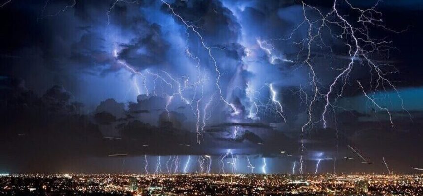
CONUS severe weather outlook – an enhanced risk of severe thunderstorms exists through tonight for portions of the Northern Plains and the upper MS valley. All types of severe weather are possible within this region. This region will move East on Saturday where a slight risk exists from the Northern Great Lakes to Northern PA.
Europe outlook – center of the upper-level ridge will be located from the North Sea to Southern Spain on Saturday. Thus, little in the way of sensible weather will occur over this region. On Sunday, an upper-level low midway between Ireland and Iceland and the associated cold front through Central France will help initiate a line of thunderstorms from Belgium towards Spain which will likely create significant enroute delays for aircraft transiting this airspace.
Canadian smoke model forecast – no impacts for the CONUS.
Images courtesy of wxcharts.com, pivotal weather.com, tropicaltidbits.com, UK met office, Weather prediction center, aviation weather center, weathernerds.org, Tomer tropical weather and the joint typhoon warning center.


